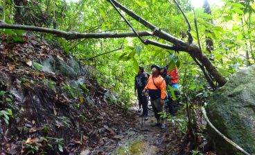
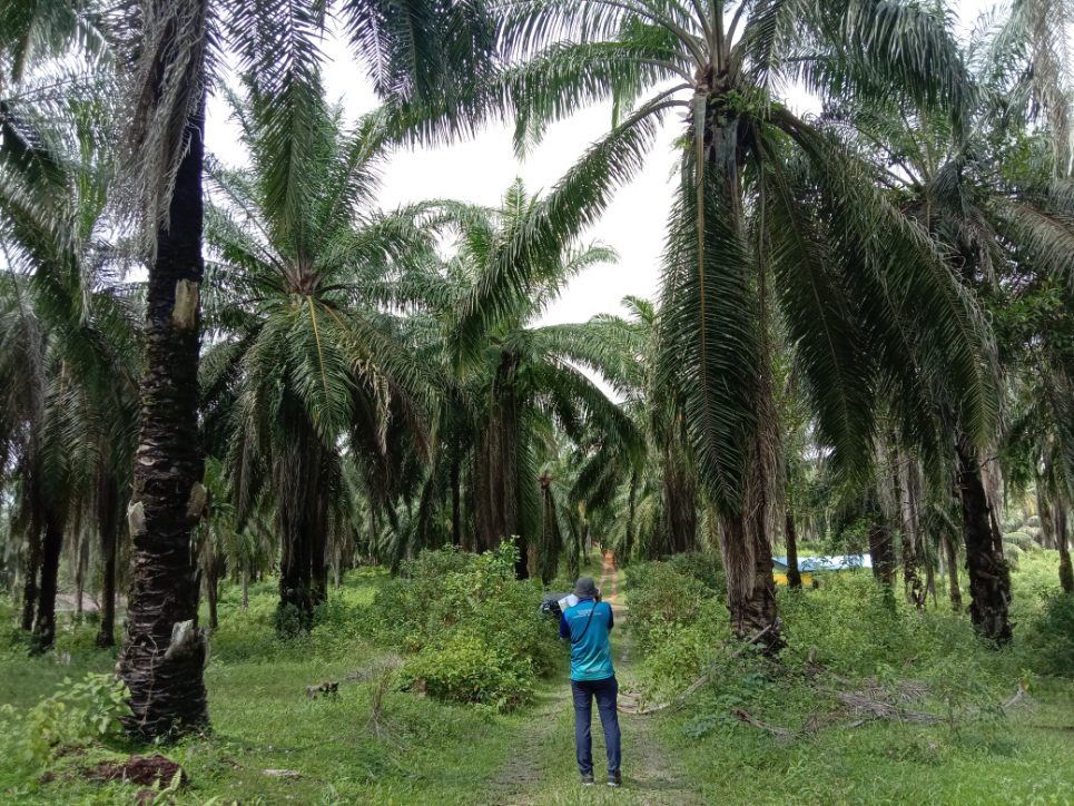
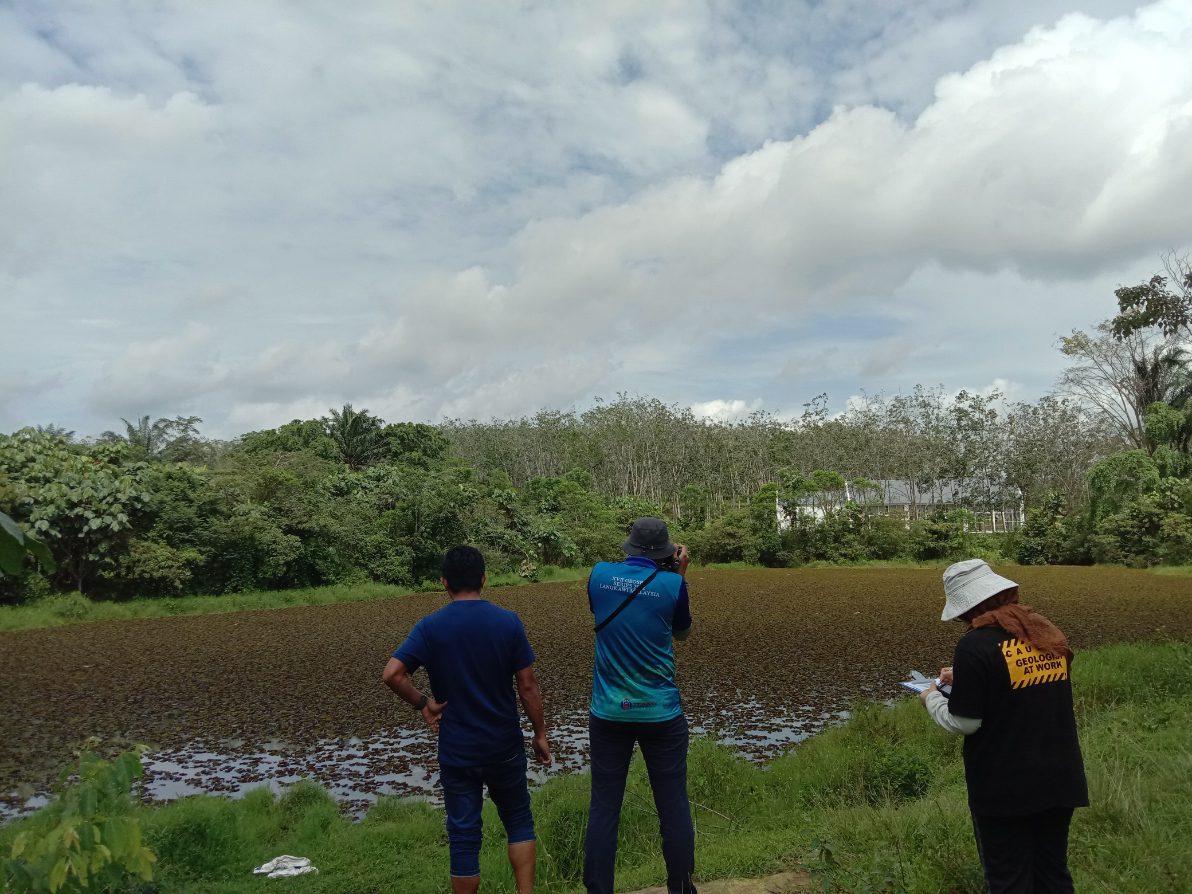
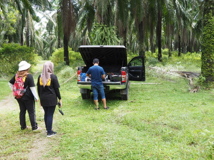
The geological terrain mapping project at Lendu, Alor Gajah, Melaka was carried out to systematically study and document the area’s surface and subsurface geological features. The objective was to gather comprehensive geological data to support land use planning, environmental management, and future development projects. The mapping involved detailed fieldwork, including rock and soil identification, structural mapping of geological formations, and the interpretation of landforms and geomorphological features. Special attention was given to identifying lithological boundaries, fault lines, and areas prone to erosion or landslides. The project also included the analysis of existing geological maps, satellite imagery, and topographical data to ensure accuracy and coverage. The findings of the study provided valuable insights into the geological history and terrain stability of the region, contributing to safer development practices and better resource management in Lendu and the surrounding areas of Alor Gajah