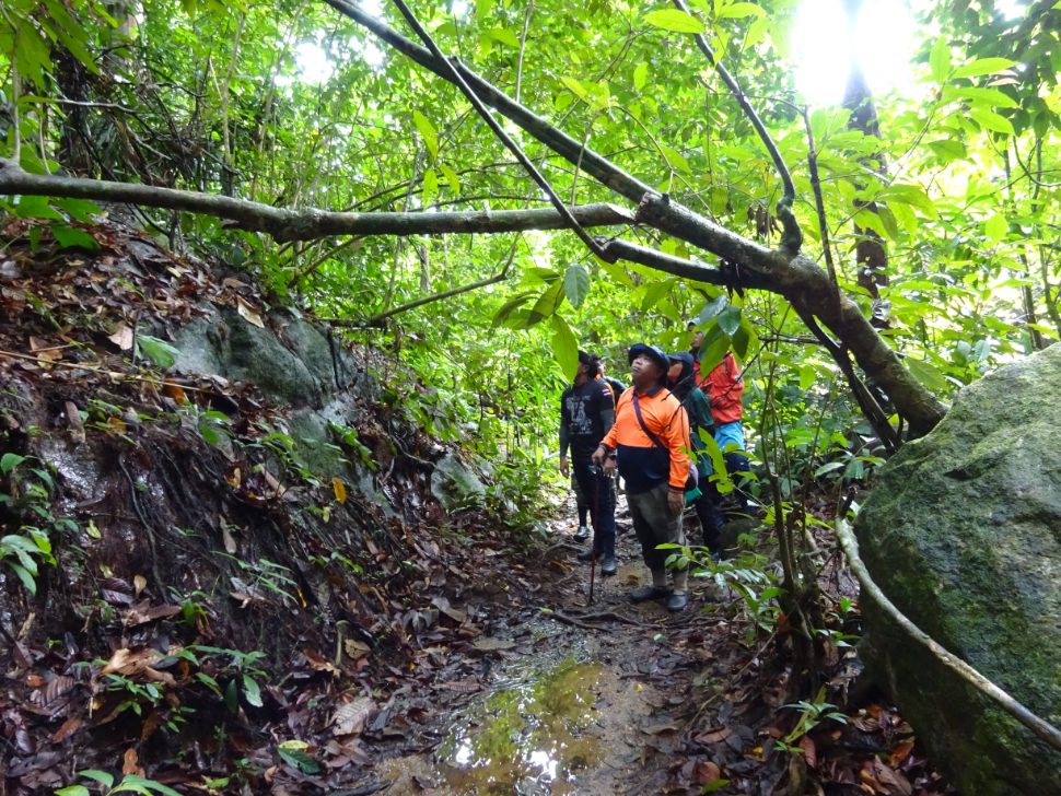
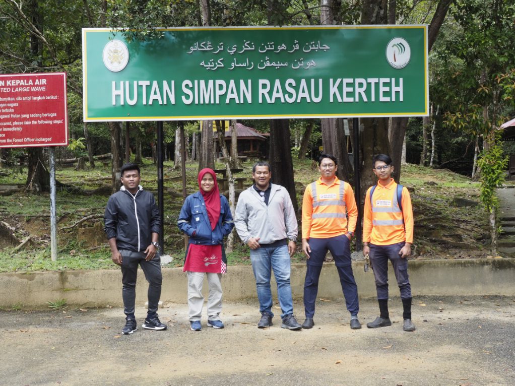
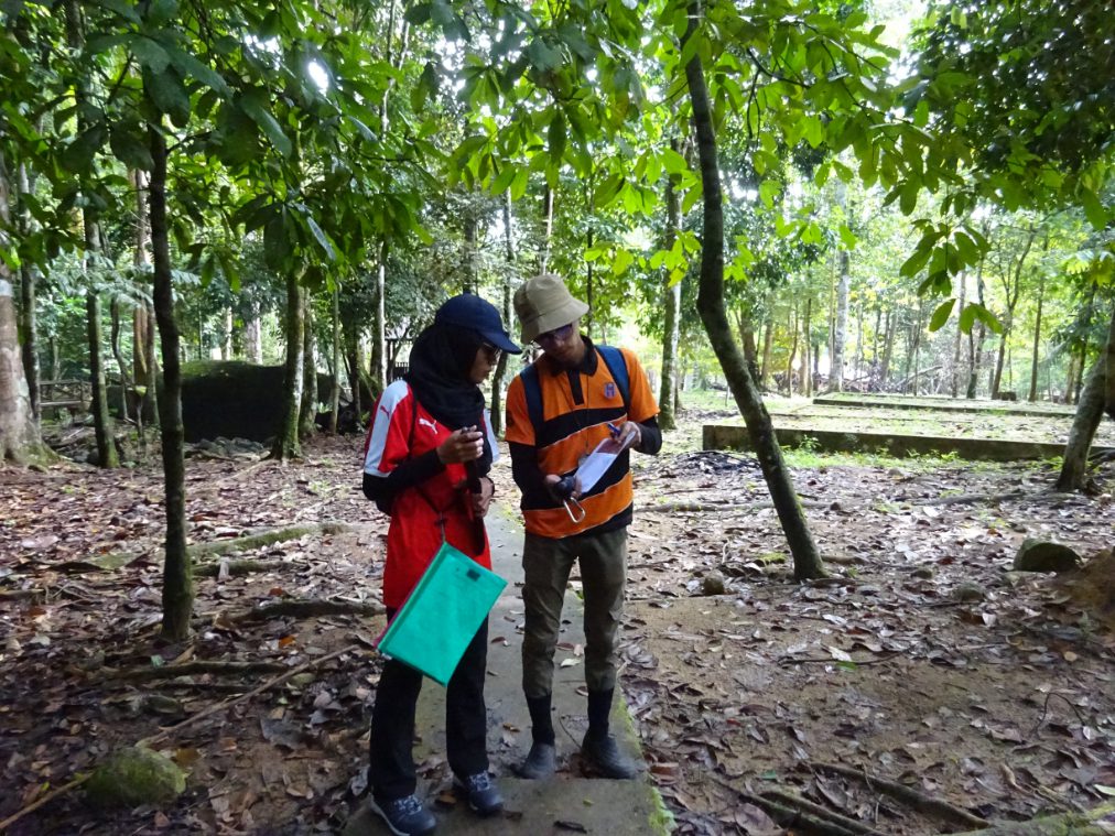
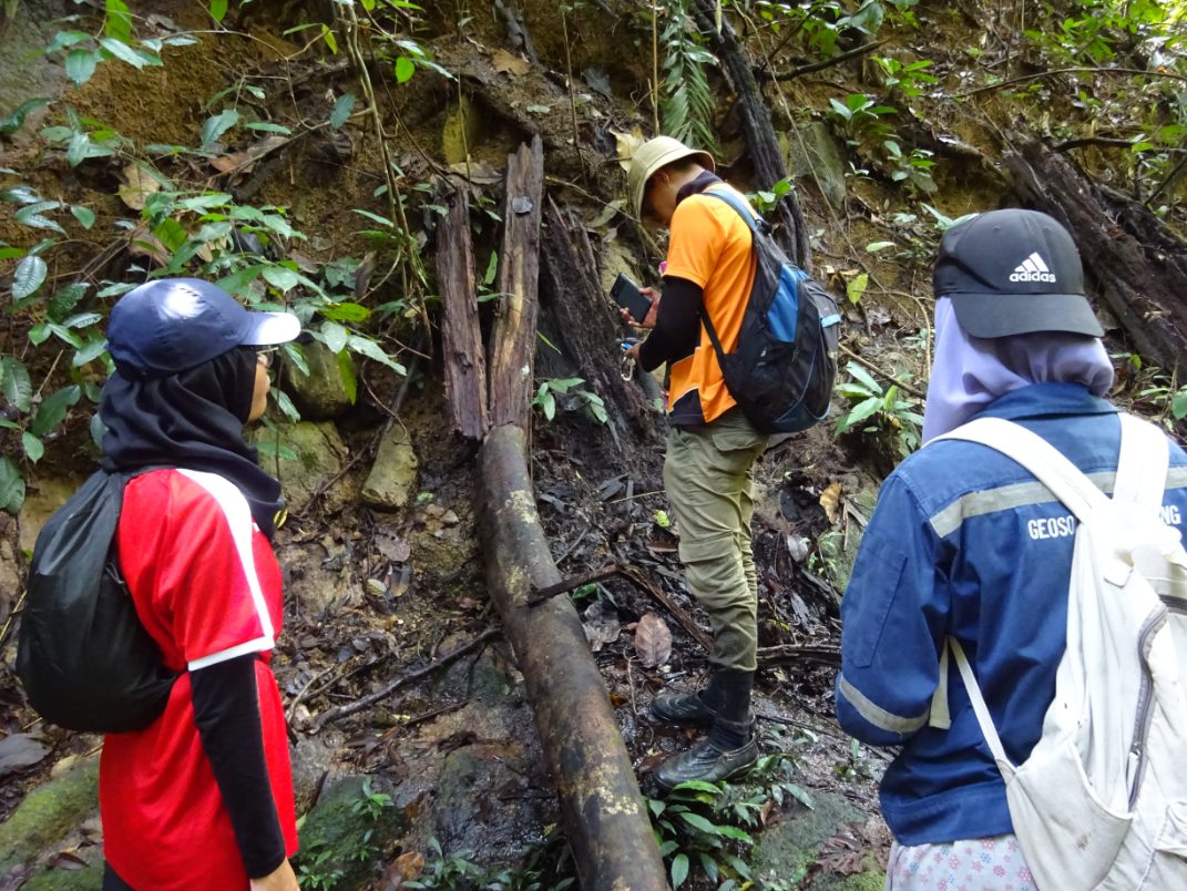
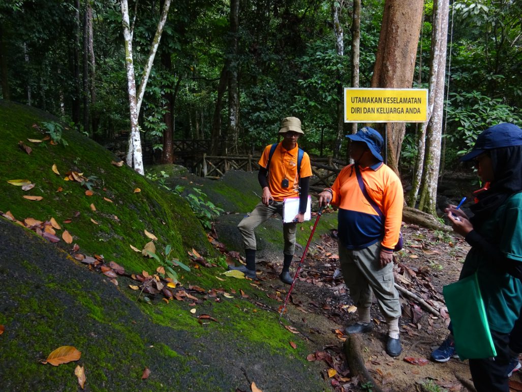
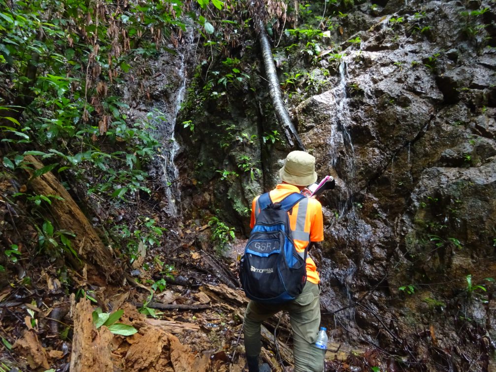
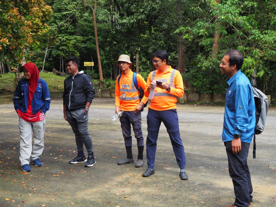
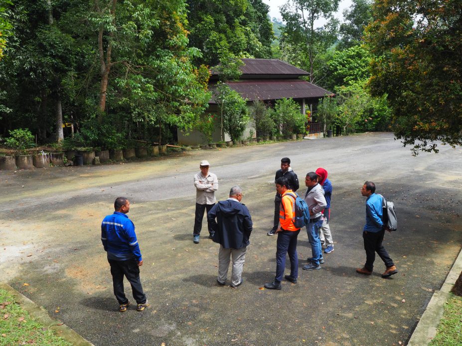
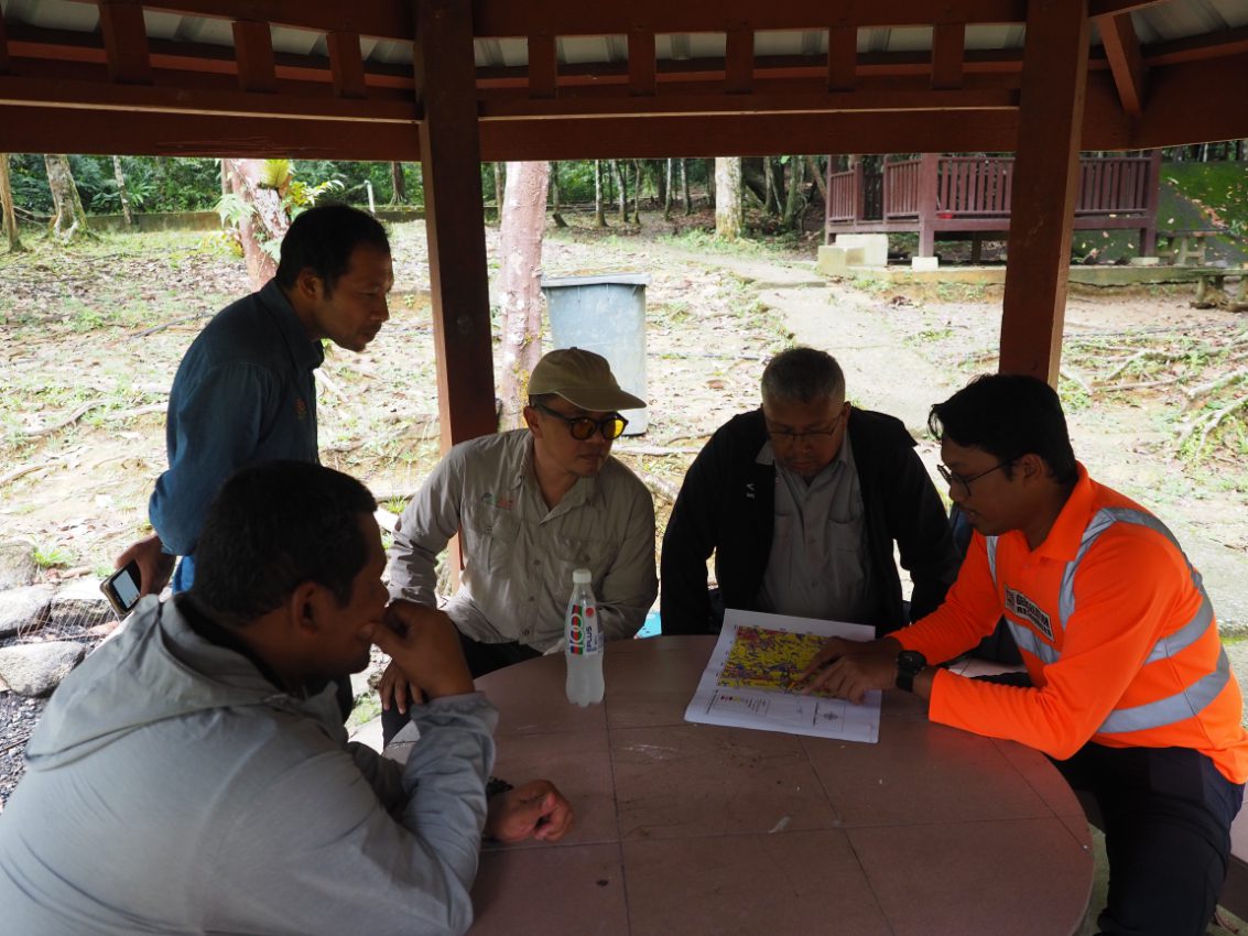
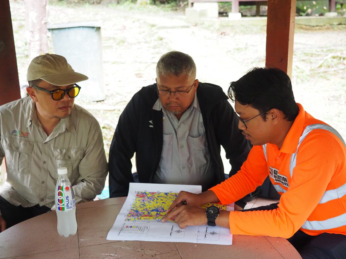
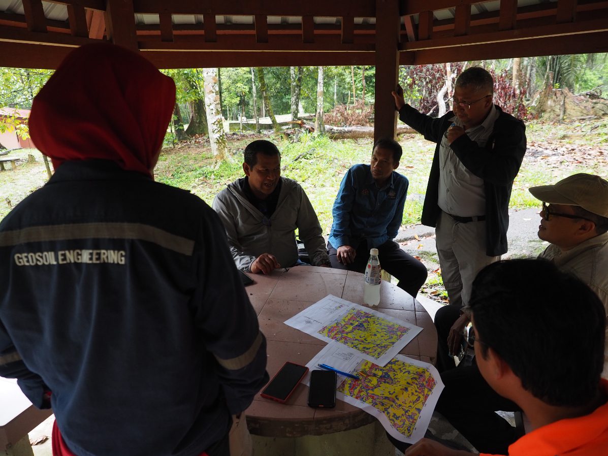
A geological terrain mapping activity was conducted at Taman Eko Rimba Menderu, Kerteh with the objective of identifying and analyzing the geological features and terrain characteristics of the area. The site, located within a forested and hilly landscape, offered a rich geological environment suitable for field observation and mapping. The study involved detailed fieldwork, including the identification of various rock types, measurement of structural features such as bedding planes, joints, and faults, as well as the documentation of geomorphological elements like slopes, rivers, and outcrops. Mapping was carried out using standard geological field methods, including GPS tracking, geological sketching, and rock sampling to support post-field analysis. The data collected was compiled into a comprehensive geological terrain map, highlighting the distribution of different lithologies and structural features. This mapping exercise provided valuable insight into the geological history and stability of the area and can serve as a reference for environmental conservation, land use planning, and further geoscientific studies at Taman Eko Rimba Menderu